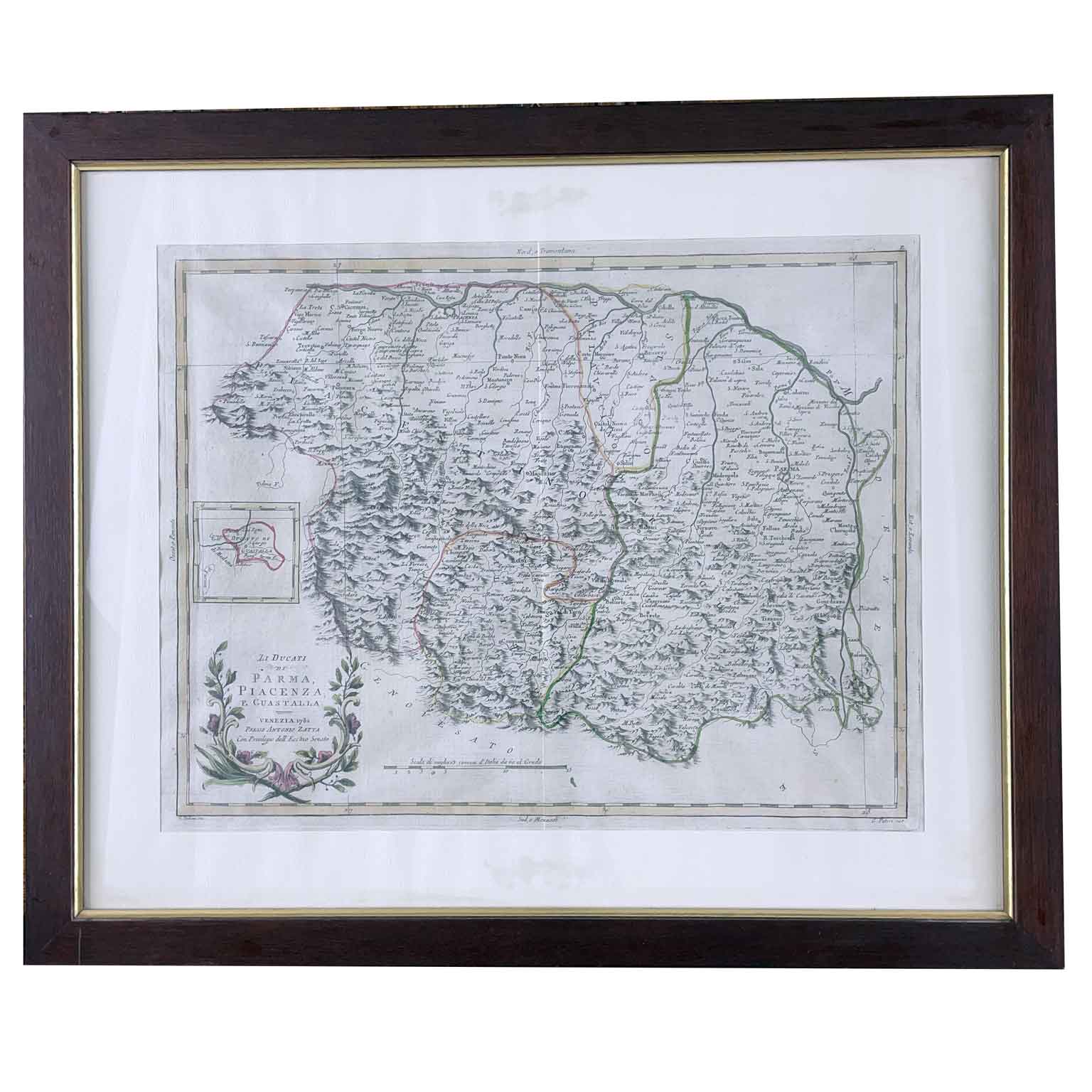
Zatta Antonio li Duchies of Parma Piacenza and Guastalla Venice 1782 geographical map from the publisher Antonio Zatta's work, Atlante novissimo, illustrato ed accresciuto sulle osservazioni, e scoperte fatte dai più celebri e più recenti geografi (Newest atlas, illustrated and enlarged on the observations, and discoveries made by the most famous and most recent geographers). Published in Venice between 1775 and 1785, etched and engraved. The plates were mainly designed by Giovanni Pitteri and engraved by Giuliano Zuliani with beautiful original coloring. On the bottom left, the cartouche consists of two watercolor ramages that intersect at the base. The reliefs are characteristic with an illuminated side to give depth to the sheet. The sheet is in good condition with a central fold and wide margins and is presented in a modern frame.
Height: 46.5 (31) cm. Width: 56.5 (40.2) cm
art. A1007