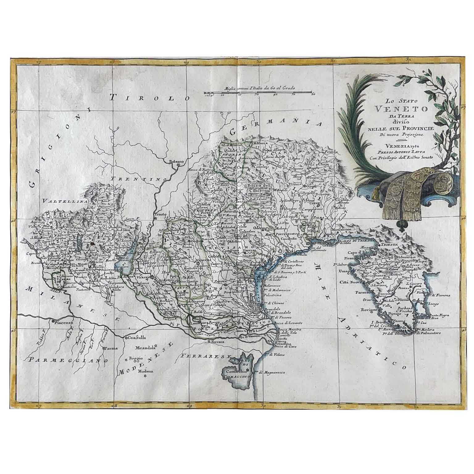
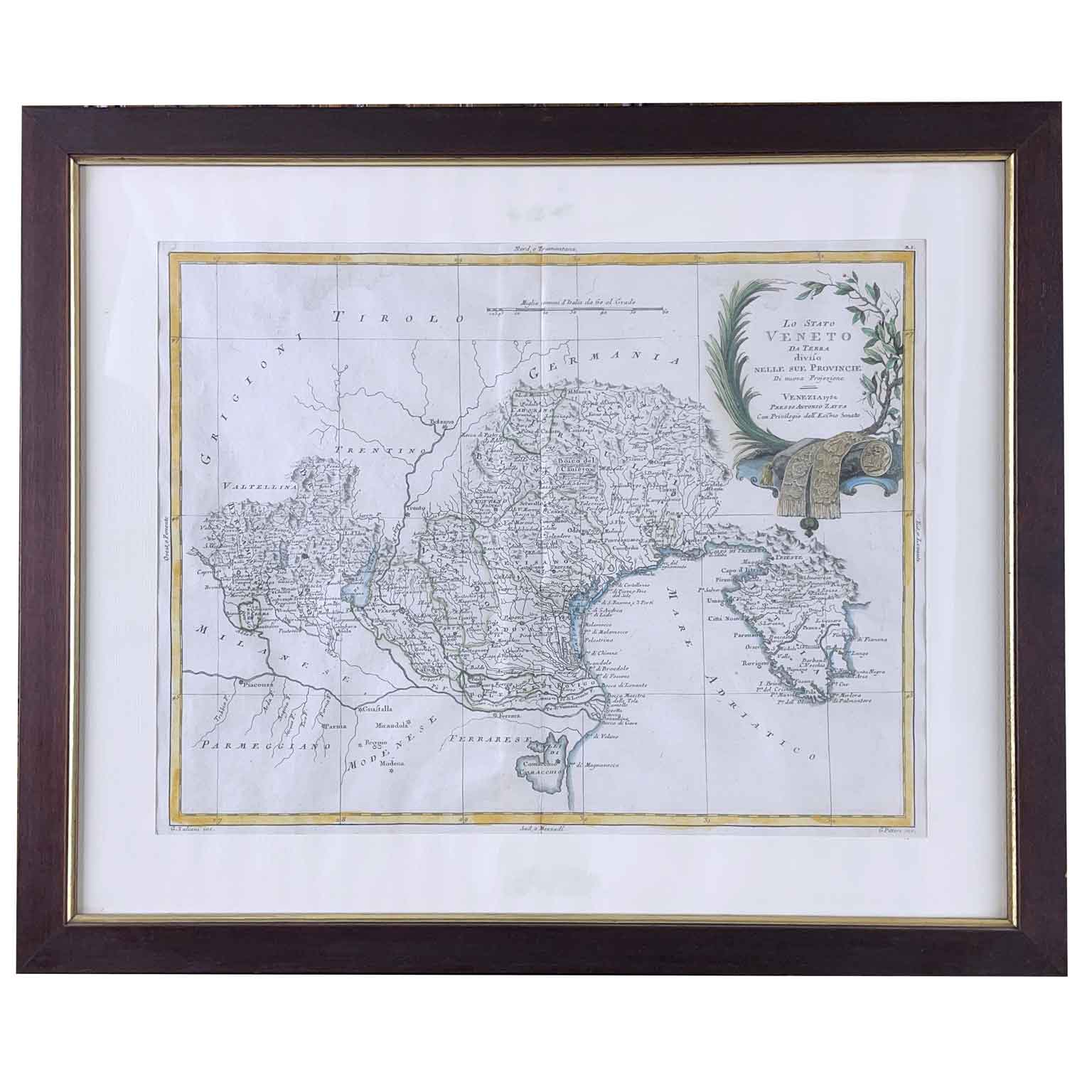
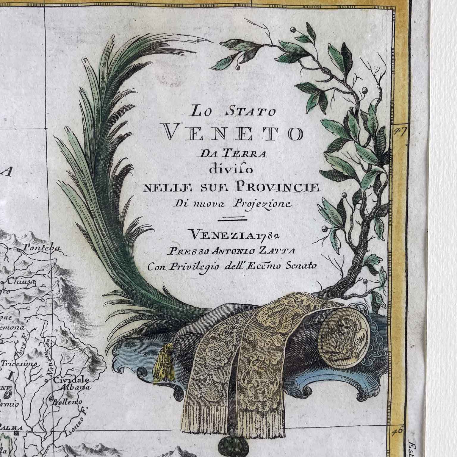
Zatta Antonio, the Venetian State Divided into its Provinces Venice 1780 Geographical map taken from the work of the publisher Antonio Zatta, Atlante novissimo, illustrated and enlarged on the observations, and discoveries made by the most famous and most recent geographers. Published in Venice between 1775 and 1785, etched and engraved. The plates were mainly designed by Giovanni Pitteri and engraved by Giuliano Zuliani with beautiful original coloring. The legend at the top right is crowned by a palm tree and a branch with berries at the base of which are two embroidered stoles, a cushion and a bas-relief with the effigy of the lion of San Marco. The map describes the topography of the territories concerned only, leaving the bordering territories blank. The sheet is in excellent condition with wide margins, has a central fold and is presented within a modern frame.
Height: 46.5 (31.2) cm. Width: 56 (40.5) cm.
art. A1009