Antique Geographical Map of Italy 1748
Dimensions:
: 32 cm,: 45 cm,: 1.5 cm
Description:
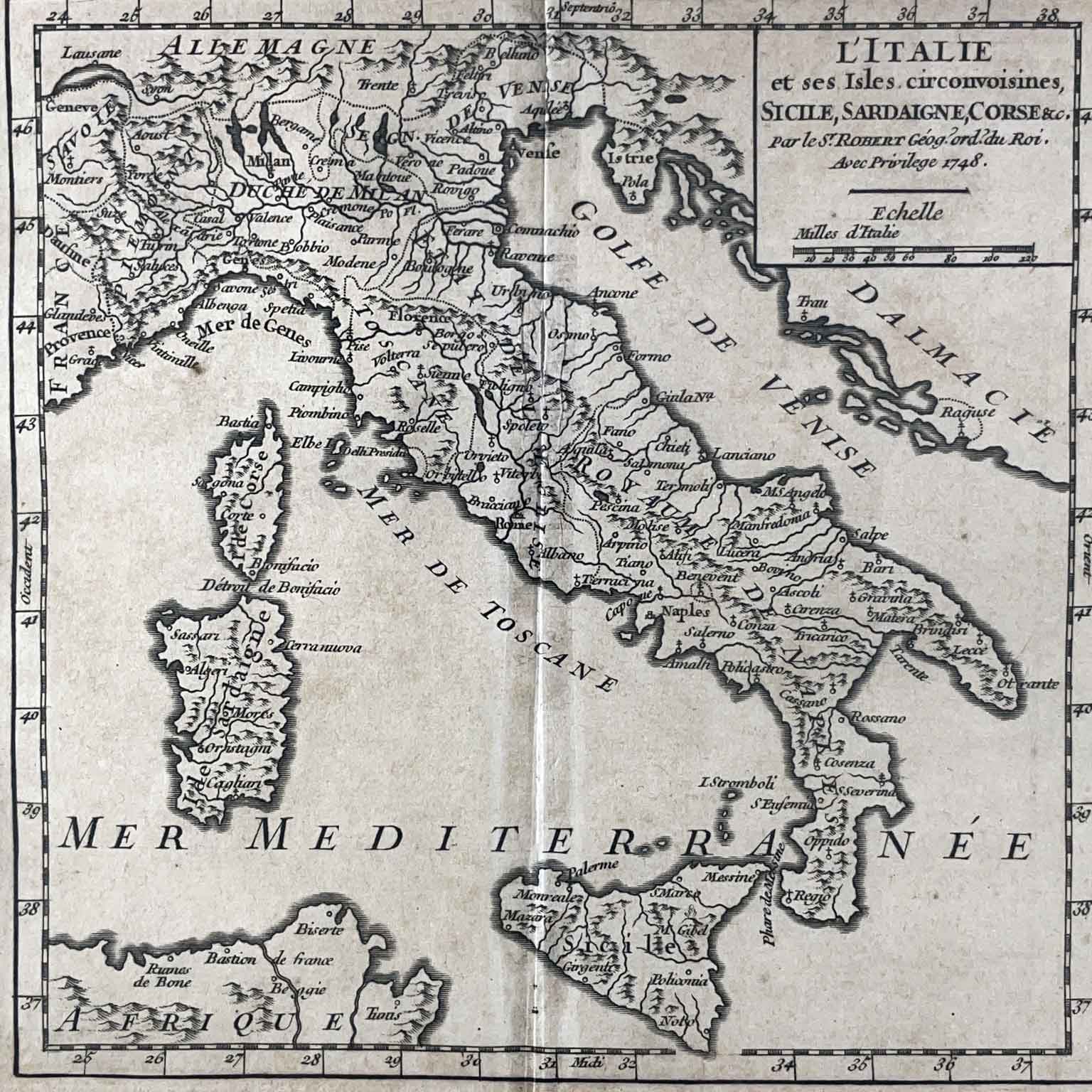
Antique Geographical Map of Italy 1748 with the hydrogeological structure and major populated centers highlighted. In good condition with a median vertical fold due to the original editorial format. At the top right, inside a rectangular box: L'Italie et ses Isles circonvoisines, SICILE, SARDAIGNE, CORSE etc. par le S.t Robert Géog. ord. du Roi. Avec Privilege 1748. The map has a modern frame in good condition as shown in the photograph.
Height: 32 (18) cm. - Width: 45 (18) cm. - Depth: 1.5 cm.
art. A1017