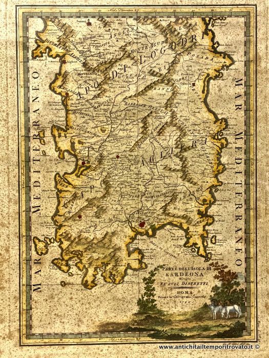
Old and rare hand-colored 18th-century map "Part of the island of Sardinia divided into its districts" by Giovanni Maria Cassini
Description:
Description:
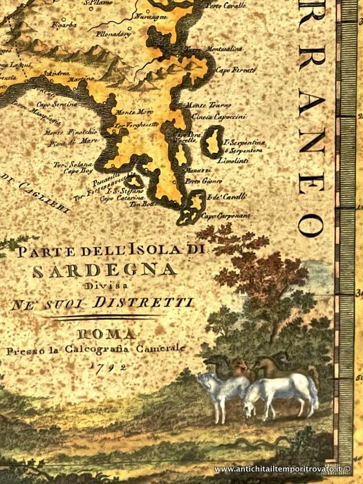
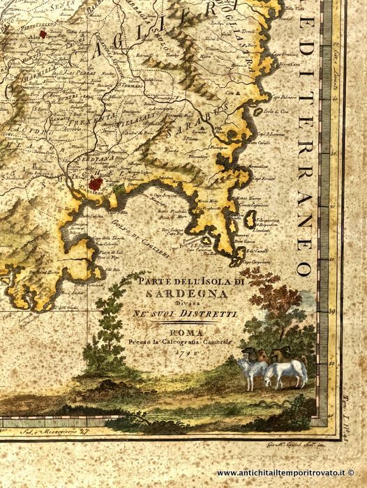
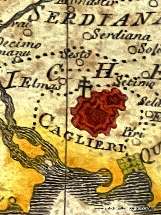
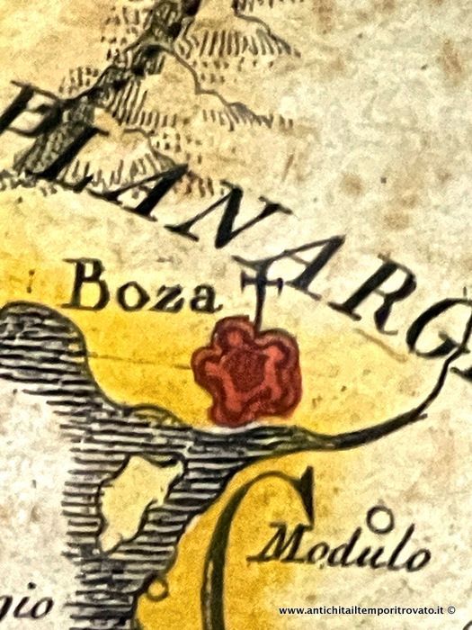
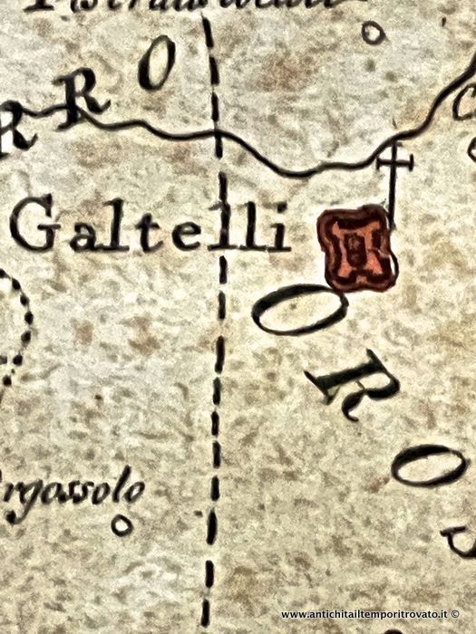
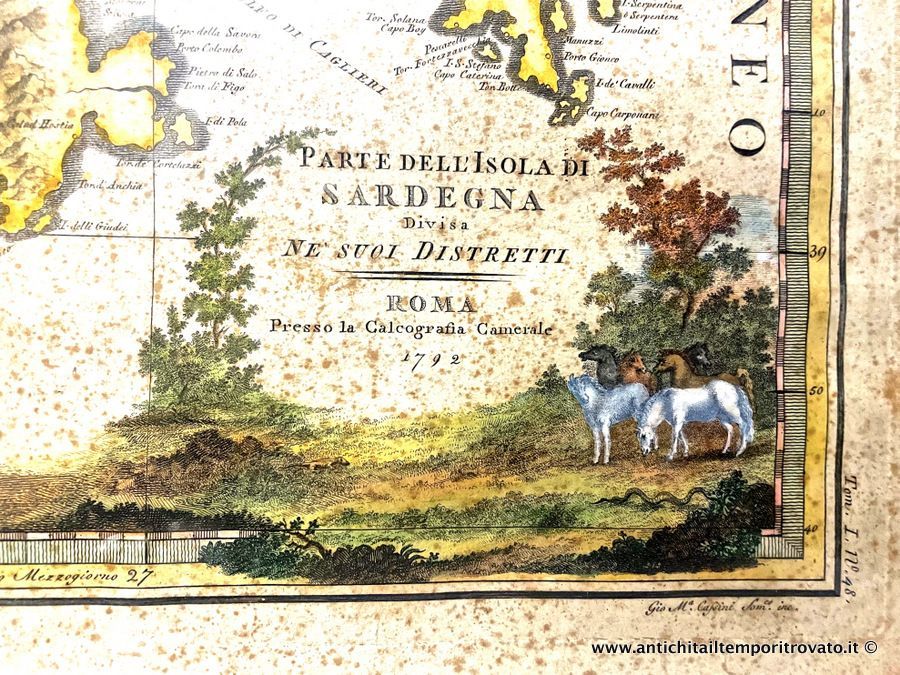
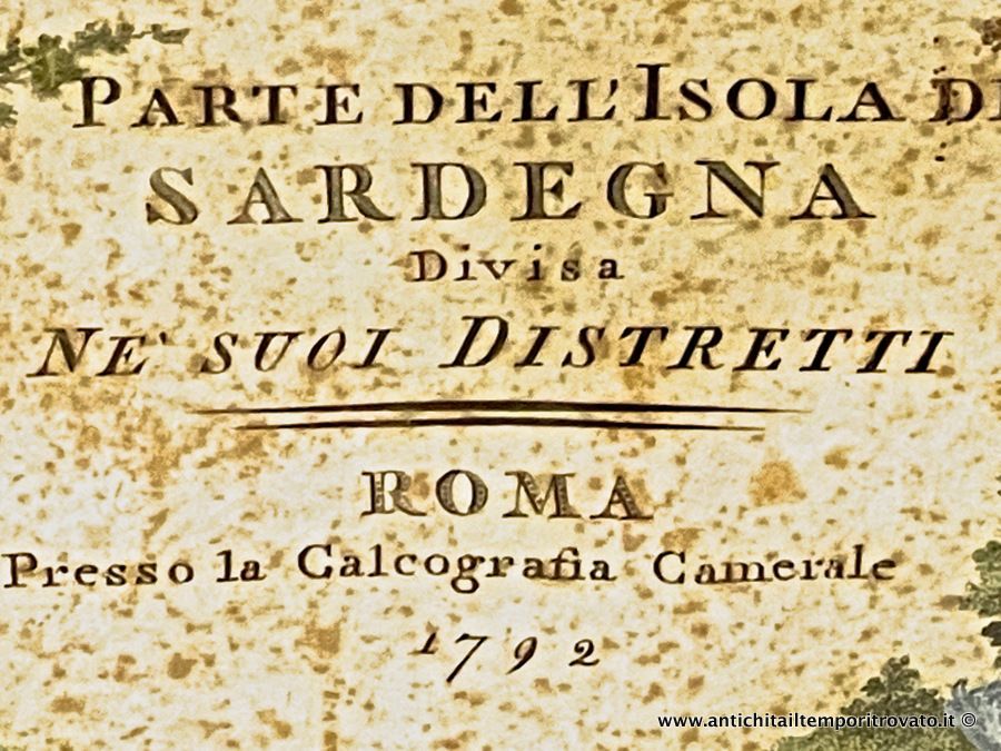
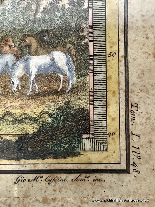
Rare copper engraving with contemporary coloring from the New Universal Geographical Atlas. Created by the cartographer Giovanni Maria Cassini, Regular Cleric of Somasca (1745-1824) and student of Giovan Battista Piranesi: a decorative map representing the southern part of the Island of Sardinia with an ornate cartouche at the bottom left with horses grazing and inside the inscription giving the title to the map: Part of the island of Sardinia divided into its districts, Rome, Camerale Cartography 1792 (photo No. 2) while, on the right side, we find the indication of the number of the plate and the volume in which it was inserted (Volume I, No. 48) and at the bottom right Gio M. Cassini Som.co (Somasco) inc. (photo No. 7). The sheet measures cm.42; h.56, the engraving cm.36; h.49. Two large inscriptions cross the map from West to East: in the northern part we find Capo di Logodri while, in the southern part, Capo Caglieri. Attention to detail: the coasts are dashed, the rivers are highlighted in bold, the internal divisions are colored in brown, the mountains are shaded and blurred and their shape is a truncated cone. The feudal divisions are present, accompanied by the relative names and highlighted by a dotting that delimits them. Finally, the inhabited centers are marked with a small circle while the main cities have a walled plan whose symbol is surmounted by a double cross in the case of an archiepiscopal see (photo No. 4), by a simple cross in the case of an episcopal see (photo No. 5). To the south we find squares indicating the salt pans. It is in a good state of conservation, with blooms as per photo.